Carrying our camera gear, especially our lenses has been a real dilemma since we set out in 2003. We want to capture and create the best images possible and that means using quality products. But the pounding, handed out by hundred's of thousands of 'off-road' miles on our sensitive electronic gear, and lenses has been a real problem.
We've been using TENBA bags to carry and compartmentalize our camera accessories for years, so we were pretty excited to hear about TENBA's lens pouches. Check out the video below for more info.
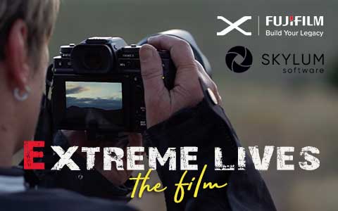
Lisa and I are proud and excited to share a new video released in association with FUJIFILM and SKYLUM Software, sharing our story and our passion for photograpy.
Please leave a comment, we'd love to hear your thoughts.
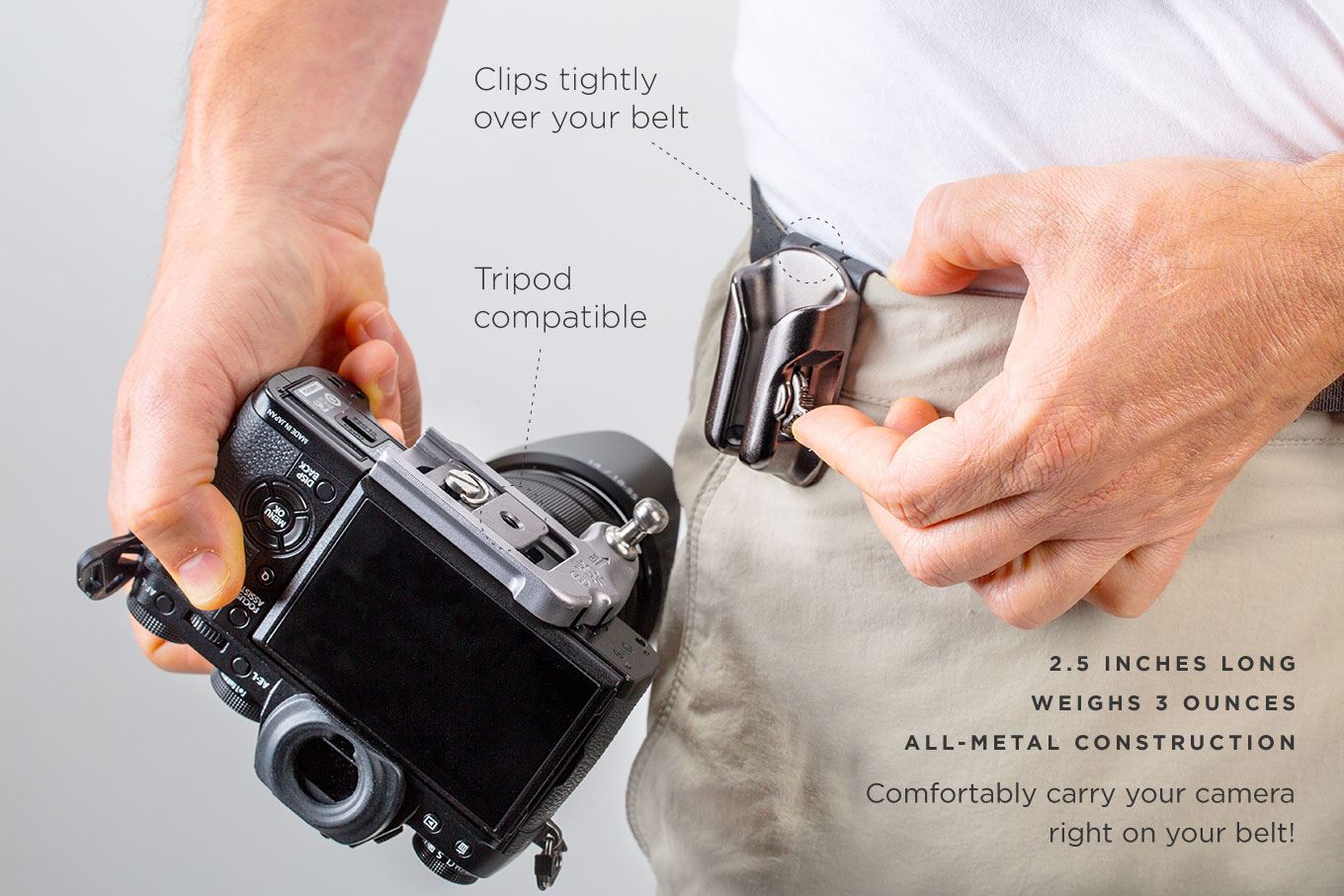
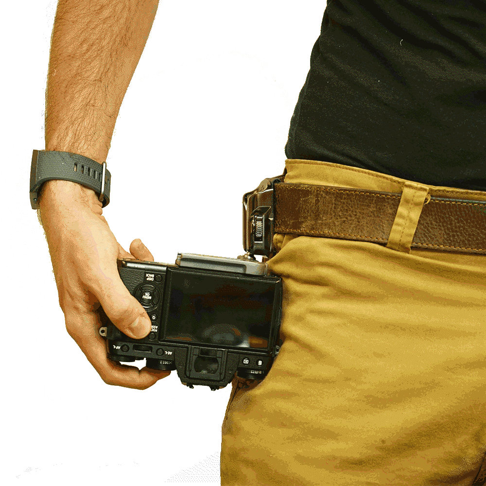
Whether you're a pro shooter or just taking family pics of your vacation, we all have a common problem. Where do we carry our cameras to ensure that they are safe but are easily accessible?
Lisa and I have been battling this little issue since the start of our trip back in 2003. When we're off the bikes we're usually carrying a ruck sack, another bag, torch (that's flashlight to our American friends :-)) or we're just busy doing something else, that isn't camera friendly. All this means is that when a photo opportunity pops up, we usually miss it, because by the time we've pulled the camera from the bag or untangled the neck strap and slung the camera from over our shoulder, well, the opportunity has gone and the shot's been missed.
A chance meeting as we were heading out of the main entrance of the New York City Convetnion Ventre, on the last day of the PhotoPlus Expo, intorduced us to Spider Camera Holster. Check out the little video below, I think you'll be impressed.
I know it's cliche but even after using this brilliant bit of gear for just a few days, we're hooked, excuse the pun. Having our camera's so readily available but at the same time, having our hands free and not having to deal with a cricked-neck from having to lift one shoulder all day to stop the camera strap from slipping,well, it's a game changer.
Update: 28th Jan 2020
Well, this is great news. Spider Holster contacted us to say they liked the little video we put together. As a thank you they gave us a special "2RideTheWorld DISCOUNT code" which we're passing onto you. Just enter the coupon code:
RideWithSpider20 (not case sensitive)
...and you'll recieve an additional 20% off anything you order. They'll also throw us a few bucks,which we'll mean you've helped us ride a few more miles down the road. Now that's a win,win, right!
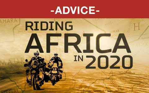
A few days ago, Lisa answered an email from a rider asking about the safety of riding the length of Africa (both east and west coasts) with his girlfriend and just yesterday another email came in from another rider with a similar question. it looks like Africa has everyone's attention right now.
In case anyone else is contemplating heading to Africa I thought I'd post up Lisa's reply here.
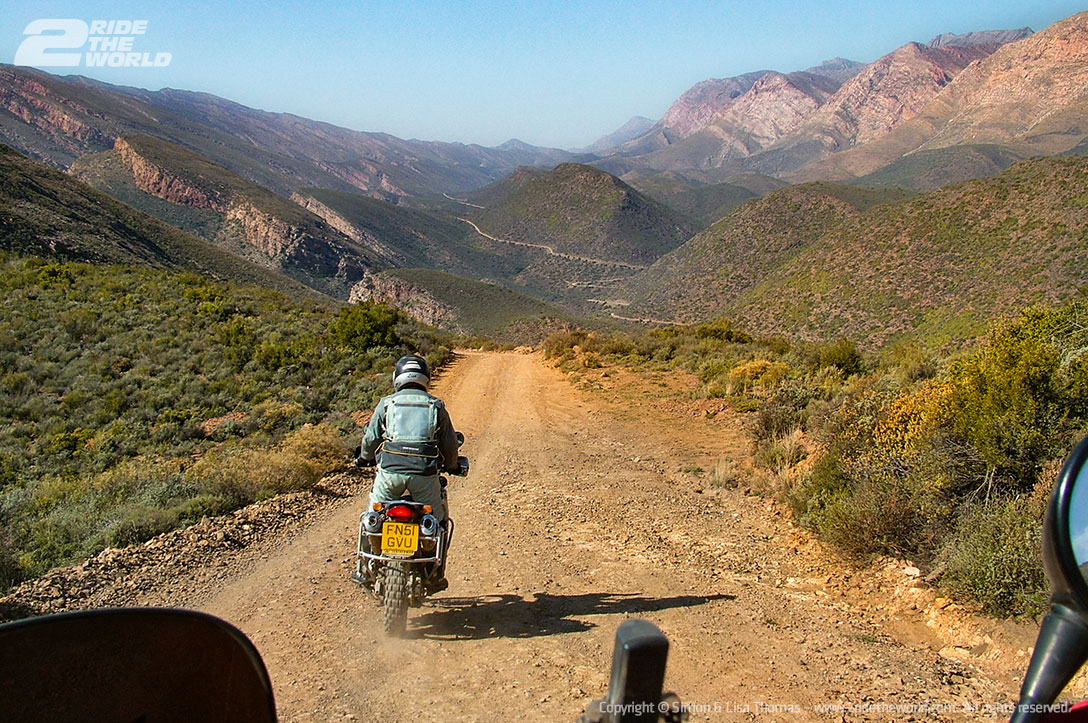
Africa has a special place in our hearts and is still our favourite continent in terms of riding, sheer beauty and raw experience so we'd love to hear from you, in the comments below if any of our advice is out of date or plain wrong.
Lisa's reply
*****************************
Hi, thanks for your question re riding Africa At the moment I would not recommend riding the west coast of Africa with your girlfriend. You would have great difficulty crossing through Mali - Nigeria- etc. A nationwide state of emergency is in place in Mali and has been since Oct 2019.
Morocco- is fine and great to ride but heading further south is currently risky.
The same goes for the north-east. Visas are difficult for Egypt, Sudan and impossible for most countries to obtain for South Sudan- you would be best to check on your countries foreign office advice for these areas. Our UK office advises against all travel to many parts of Egypt and Sudan and advises no travel to South Sudan. Simon and I are not travelling in these areas of Africa due to the current tensions.
Remember if your foreign office advises against all travel and/or all but essential travel, all your insurances, medical etc, would be invalid in those areas.
south of Africa - ie South Africa- Botswana - Tanzania - Kenya (but not the coast of Kenya) Uganda are all do-able but care should still be taken.
Our advice is that it's currently not a good idea. Ride Morocco then ride the south of Africa. feel free to ask further advice. kind regards